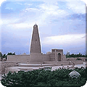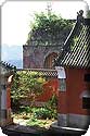

Category: 万里长城Great Wall
三关口长城图片Sanguankou Great Wall Pictures
-
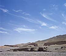
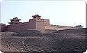
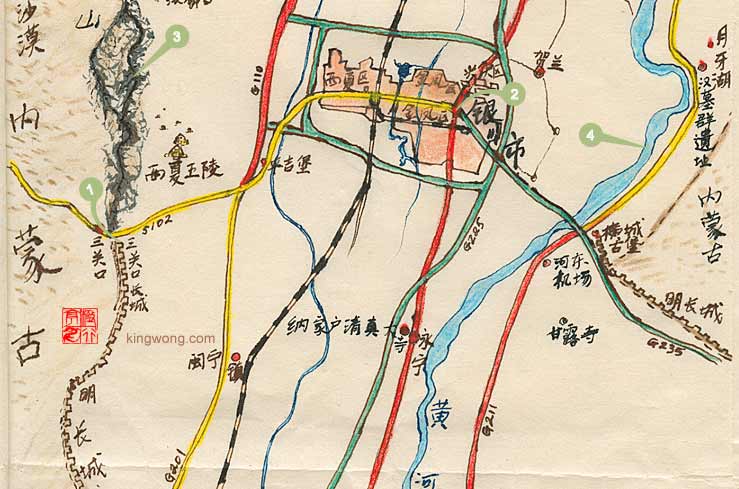
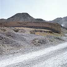
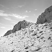
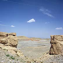
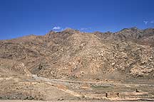
In the background is the 贺兰山Helan Shan Mountains. Sanguankou Great Wall runs parallel to this mountain range that is now the natural borderline between 宁夏回族自治区Ningxia Hui Autonomous Region and 内蒙古Neimenggu (Inner Mongolia).
-
In the distance, besides the great wall, were numerous graves. But they they are too tiny to been seen on this online image. Beyond the Wall is the 贺兰山Helan Shan Mountains. Sanguankou Great Wall runs parallel to this mountain range that is now the natural borderline between 宁夏回族自治区Ningxia Hui Autonomous Region and 内蒙古Neimenggu (Inner Mongolia).
-
-
-
-
-
-
-
-
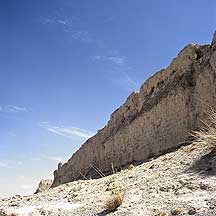
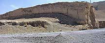
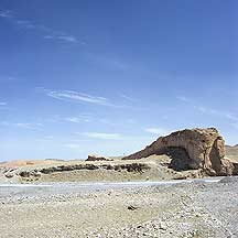
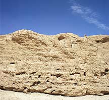
The Wall was constructed of gravel binded together with earth and water, so it is very solid and durable.
-
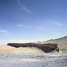
Sanguankou great wall is on the borderline between 宁夏回族自治区Ningxia and 内蒙古Neimenggu (Inner Mongolia) on the north. Here I was on Inner Mongolia side — northwest side of the Wall.
-
The Wall can reach as high as 7 meters and as wide as 6 meters, but averages about 4 meters high.
-
-
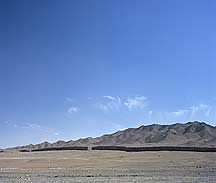
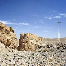
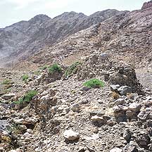
This whole area is just rocky hills and mountains.
-
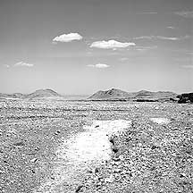
There is nothing here but wasteland. At a distance away from the Wall, behind a hill, I heard thunderous wailings of construction machines, and clouds of smoke and dust would rise.
-
-
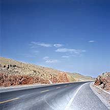
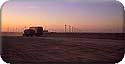
The major road near the Wall.
-
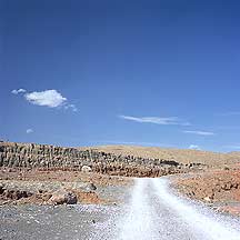
The marks of heavy machines. Gravels for construction lay in large piles in the area.
-
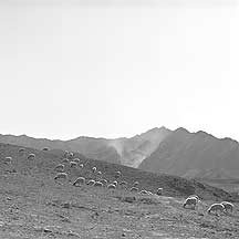
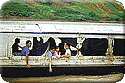
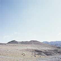
I was on a cargo truck when I saw this herd of sheeps. I could not resist getting off for a close up look.
-
Besides the sheeps, there were also horses fenced off besides the highway.
-
-
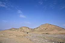
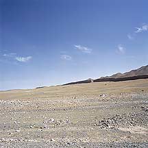
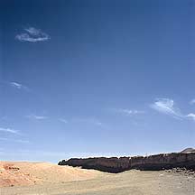
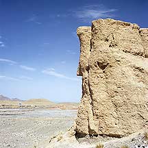
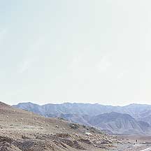
The desolate landscape in the area.
-
The desolate landscape in the area.